Why Did Old Maps Show Sea Monsters? What Cartographers Were Really Doing
Why did old maps show sea monsters? From sailor stories and real animals to danger, decoration, and political symbolism, the creatures reveal how cartographers once understood the oceans.
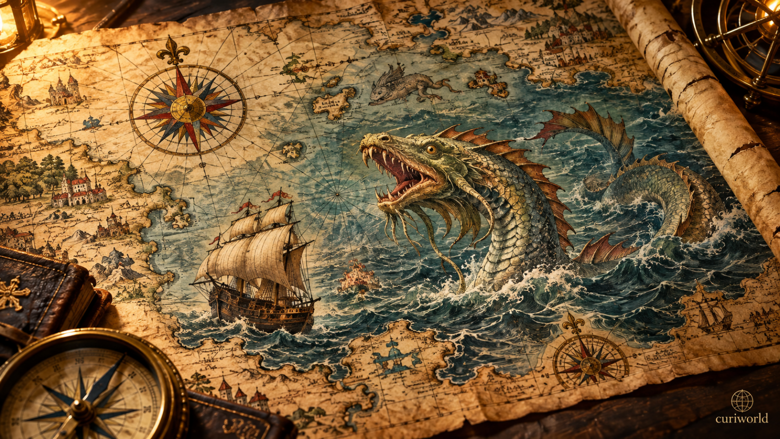
Look closely at a European map from the 1500s and the ocean may be anything but empty.
A serpent coils beside a ship. A huge creature rises from the waves. Whales have tusks, strange heads, or bodies that look nothing like the animals we know today.
It is easy to assume cartographers simply filled unknown parts of the ocean with imaginary monsters.
The truth is more interesting.
Sea monsters on medieval and Renaissance maps could represent beliefs about real marine animals, stories brought home by sailors, warnings about dangerous waters, decorative choices, natural history, political messages, or a mix of all of them.
Sea Monsters Were Not on Every Old Map
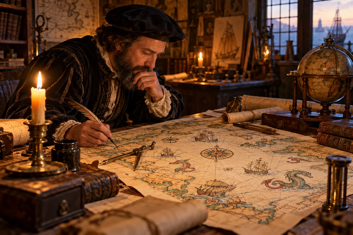
The image of an old map covered with monsters is partly a modern stereotype.
Many practical nautical charts had no monsters at all. The Library of Congress notes that elaborate sea creatures appeared more often on maps made for display than on charts intended primarily for navigation.
That distinction matters.
A working chart aboard a ship needed coastlines, ports, directions, and useful geographic information. A large illustrated map made for a wealthy owner could do much more: educate, entertain, impress visitors, and display knowledge about distant parts of the world.
Sea monsters made those maps memorable.
Cartographers Thought Some of These Creatures Were Real
A dragon-like whale may look obviously imaginary today, but Renaissance mapmakers did not have photographs, wildlife documentaries, or modern marine biology.
Information about distant animals moved through sailors’ accounts, older books, classical texts, religious traditions, illustrations, and stories repeated from one author to another.
Cartographic historian Chet Van Duzer has traced many creatures on historical maps back to earlier written and illustrated sources.
That means cartographers were not always thinking, “There is an empty space here, so I’ll invent a monster.”
Sometimes the logic was closer to:
This is what respected sources say lives in this sea.
A sailor might see the back of a whale for a few seconds in rough water. Someone else would describe it. An author might record the story. An illustrator who had never seen a whale could then turn the description into an image.
By the time it reached a map, the animal could look spectacularly strange.
Some Famous “Monsters” Were Probably Based on Real Animals
One of the best examples is the Carta Marina, created by Swedish scholar and churchman Olaus Magnus in 1539.
The enormous map of Scandinavia and the northern seas is packed with ships, communities, wildlife, and extraordinary marine creatures.
Many look completely fantastical.
Yet a surprising number appear to have been inspired by real animals—especially whales—filtered through older descriptions and illustrated natural histories.
A whale seen from a wooden ship could be frightening enough without exaggeration. It was enormous, unfamiliar to many people, capable of suddenly surfacing beside a vessel, and difficult to observe in detail.
When those encounters were translated into stories and drawings, recognizable animals could become monsters.
The result tells us as much about the history of information as it does about zoology.
Were the Monsters Warnings About Dangerous Waters?
Sometimes, yes.
The ocean was genuinely dangerous.
Storms, reefs, currents, navigation errors, shipwrecks, limited weather knowledge, and long voyages made sea travel risky. Huge unfamiliar animals only added to the uncertainty.
Olaus Magnus used some creatures on the Carta Marina in ways that emphasized the dangers associated with northern waters.
But there was no universal cartographic rule saying:
Monster = unexplored territory.
That popular interpretation is too simple.
The meaning depended on the map.
One creature might represent an animal people believed existed. Another could warn of danger. Another might fill visual space. A fourth could carry a symbolic or political message.
Sea Monsters Were Also Great Decoration
Historical maps could be expensive works of art.
A large map required skilled cartographers, engravers, printers, and sometimes colorists. Wealthy owners could display impressive maps much as people later displayed paintings, globes, books, and collections of unusual objects.
An empty ocean offered plenty of visual space.
Ships, compass roses, waves, and sea creatures made that space more interesting.
Smithsonian Ocean notes that many heavily decorated maps were not primarily designed for navigation. Some were display objects intended to fascinate their owners while also presenting what people believed they knew about the world.
That does not make the monsters meaningless.
Decoration itself can tell us what an audience found exciting, frightening, believable, or exotic.
A Sea Monster Could Even Be Political
One of the most revealing monsters appears on Martin Waldseemüller’s 1516 Carta Marina.
The map shows King Manuel I of Portugal riding a sea creature near southern Africa.
That image was not simply there to make the ocean look interesting.
According to cartographic historian Chet Van Duzer, it represented Portuguese control over the sea route around Africa toward the trading centers of India.
The creature had become a political symbol.
A dangerous ocean was being shown as something Portugal could master.
This is an important reminder that maps have never been completely neutral pictures of geography. They can communicate power, territorial claims, trade ambitions, religion, and political priorities.
Even modern borders have histories hidden behind apparently simple lines. Curiworld’s look at why some countries have such straight borders shows how geography, colonial history, diplomacy, coordinates, and surveying can all shape what eventually appears on a map.
What About “Here Be Dragons”?
The phrase has become almost inseparable from the popular image of ancient maps.
In movies, novels, and games, unexplored territory is often imagined as being labeled “Here be dragons.”
Historical cartographers did not routinely use it.
That cliché gives the wrong impression that mapmakers had a standard system for marking unknown territory with monsters. They did not.
Actual sea creatures on maps are much more interesting precisely because there was no single explanation for them.
A monster might come from a natural-history text.
Another might come from a sailor’s story.
Another might represent danger.
Another might make an expensive map more visually impressive.
And another might help a ruler advertise power.
Why Did Sea Monsters Disappear From Maps?
By the late 17th century, fantastical sea creatures were becoming less common on European maps.
Several things were changing at once.
Navigation was improving. More voyages were producing observations of distant seas. Natural history was becoming more systematic. Printed descriptions and illustrations of real animals could circulate more widely. Cartography was also becoming increasingly specialized.
As knowledge of marine life improved, whales and other sea animals gradually became easier to represent as animals rather than monsters.
Smithsonian Ocean notes another shift: images of ships, fishing, whaling, and maritime commerce became increasingly prominent.
The ocean was still dangerous.
But the way Europeans represented it was changing.
Old Maps Were Doing More Than Showing People Where to Go
The biggest mistake is judging every historical map as if it were an early version of Google Maps.
Maps had different purposes.
Some were navigational tools. Others organized geographic knowledge. Some displayed natural history. Some communicated religious ideas or political authority. Others were luxury objects designed to be studied and admired.
A single Renaissance map could mix observation, scholarship, rumor, art, mythology, and geography without separating those categories the way a modern scientific atlas would.
That same principle applies to features that seem completely ordinary today. Even something as simple as using a river as a national boundary involves human choices, treaties, and interpretation, as Curiworld explains in why some borders follow rivers.
Sea monsters make the difference between old and modern maps unusually easy to see.
They were not simply pictures added where cartographers knew nothing.
They show us what people thought they knew, where that knowledge came from, what they feared, and what they wanted a map to communicate.
And that makes them more revealing than an empty ocean ever could.
Sources
Library of Congress — Imaginary Maps in Literature and Beyond: Map Monsters
Library of Congress — Sea Monsters on Medieval & Renaissance Maps
Library of Congress — Cartographic historian Chet Van Duzer
Smithsonian Ocean — The Enchanting Sea Monsters on Medieval Maps


Join the discussion