Why Do Some Countries Have Such Straight Borders?
Some borders follow rivers and mountains. Others look ruler-straight. The reason involves geography, colonial history, diplomacy, coordinates, and surveying.
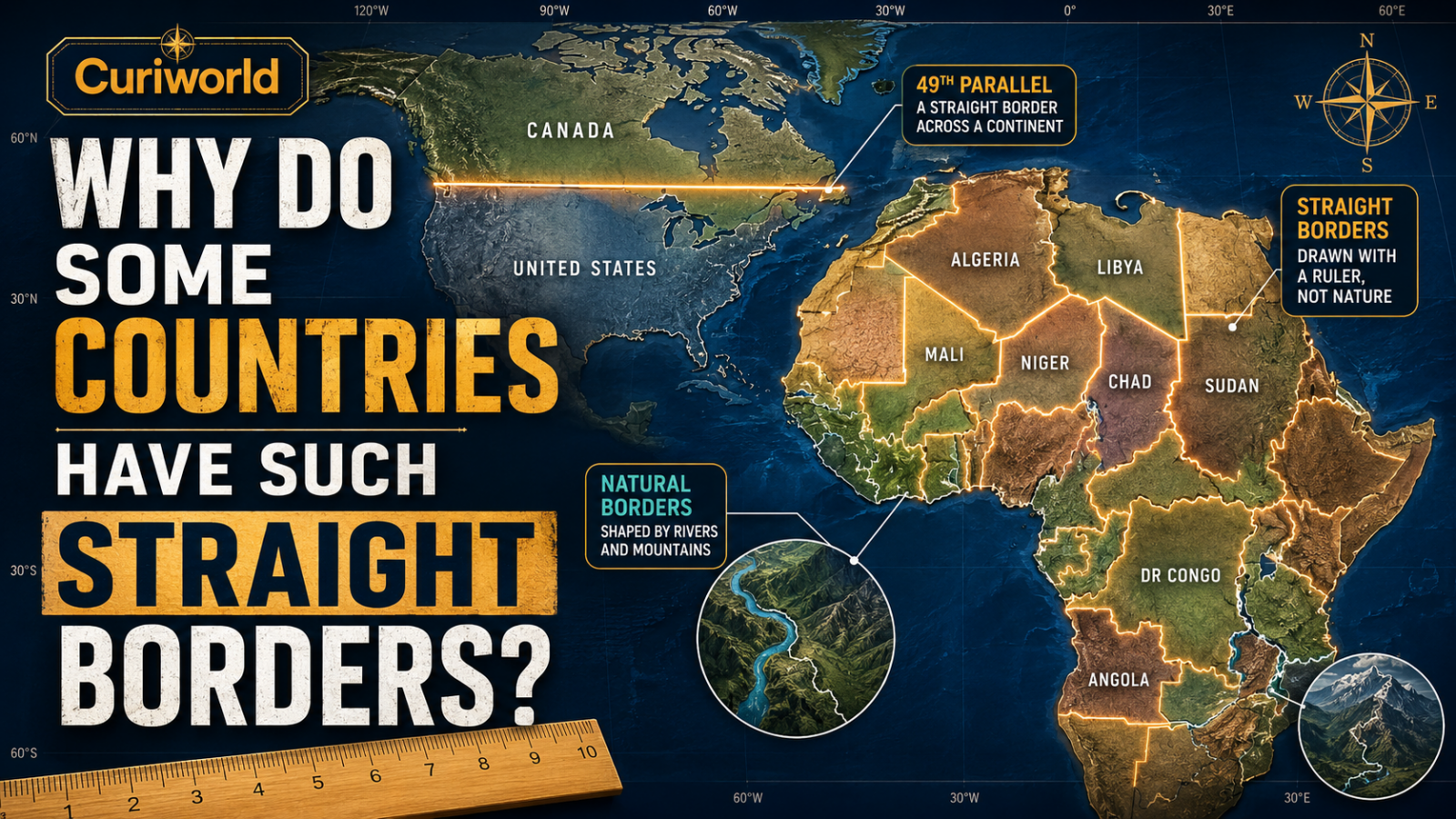
Look at a political map and some borders seem to belong to the landscape. They bend along rivers, climb mountain ranges, and curve around lakes.
Then there are borders that look as if someone placed a ruler on the map.
Those straight lines are rarely accidents. Some follow latitude or longitude. Others were negotiated between rival states, inherited from colonial administrations, or drawn across deserts where there were few obvious physical features to use instead.
But one popular explanation needs correcting: straight borders are not simply proof that someone ignored geography. Even some of the world’s most geometric-looking boundaries have surprisingly complicated histories.
Natural Borders and Geometric Borders
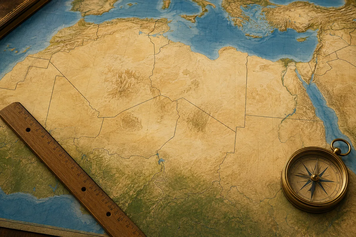
International boundaries can broadly follow two kinds of features.
Natural or physical boundaries use features such as rivers, lakes, mountain ridges, or watersheds.
Geometric boundaries use mathematical lines: a parallel of latitude, a meridian of longitude, or a straight segment connecting agreed coordinates.
Geometric borders were attractive because they could be described clearly in a treaty.
Instead of negotiating every valley, village, or stream, two governments could agree that a particular latitude would separate their territories.
On paper, it was simple.
On the ground, not always.
Rivers create a completely different type of boundary; see why so many borders follow rivers.
Why Would Governments Choose a Straight Line?
Imagine two states trying to divide a huge territory that has not been mapped or surveyed in detail.
A river might offer an obvious boundary—but perhaps no major river exists.
A mountain range might work—but perhaps the disputed territory is mostly flat desert.
A line of latitude provides a different solution.
It is theoretically precise, politically neutral-looking, and easy to describe:
Everything north of this coordinate belongs to one side. Everything south belongs to the other.
That does not mean the line was fair to the people already living there. Nor does it mean local identities, trade routes, or historical territories were respected.
It means a geometric line could make a difficult diplomatic problem easier for the governments negotiating it.
The U.S.–Canada Border Shows How Geometry Becomes Politics
One of the world’s best-known examples is the boundary between the United States and Canada.
The entire border is not straight, but a huge western section follows the 49th parallel north.
The Convention of 1818 established the 49th parallel as the boundary from the northwesternmost point of the Lake of the Woods to the Rocky Mountains. The Oregon Treaty of 1846 later extended the basic boundary westward toward the Pacific, with an adjustment through the waterways around Vancouver Island.
Nothing on the landscape naturally marks most of that parallel.
It became politically significant because governments agreed that an imaginary geographic coordinate would represent sovereignty.
The International Boundary Commission notes that surveyors later had to locate and mark this supposedly simple line across enormous stretches of forests, plains, and mountains.
A straight border can therefore be simple in a treaty and difficult in the real world.
Why Are So Many Borders in Africa Straight?
Africa is usually the first place people point to when discussing ruler-straight borders.
That makes sense visually, especially in North Africa and across the Sahara.
European colonialism played a central role in shaping the modern African state system. Colonial powers claimed large territories, negotiated spheres of influence, signed treaties, and eventually established boundaries that later became international borders.
But the familiar story that European leaders met at the Berlin Conference of 1884–85 and simply drew today’s African borders across a blank map is too simplistic.
The Berlin Conference was important to the broader colonial partition of Africa, but most precise African borders were not finalized there.
Many emerged later through negotiations, treaties, surveys, local information, and revisions.
Africa’s Borders Were More Complicated Than the “Ruler” Story Suggests
A major study published in the American Political Science Review examined the formation of 107 bilateral African borders.
Its findings challenge the idea that straight lines dominated the entire continent.
The researchers found that water bodies or watersheds were the primary feature in 63% of the borders they studied, compared with 37% where straight lines were primary.
Historical political frontiers also influenced many boundaries.
That does not mean colonial border-making was harmless or locally democratic. European imperial powers were still creating and controlling colonial territories, often with serious consequences for the societies incorporated into them.
But it does mean that the actual placement of borders was often more complicated than “Europeans knew nothing and drew random lines.”
Deserts Are Where Straight Borders Really Stand Out
The strongest pattern appears in deserts.
In the same study, straight lines were the primary feature in 78% of borders located largely in desert areas, compared with only 24% of non-desert borders.
That difference makes geographic sense.
Deserts often had lower population density and fewer rivers, lakes, settlements, and other obvious features that could serve as convenient boundary markers.
When negotiators lacked a clear physical feature, latitude, longitude, or a straight line between known points became more attractive.
So the concentration of straight borders across the Sahara is not merely a story about rulers on maps.
It is also a story about the landscape on which those rulers were used.
Rivers Look Natural, but They Are Not Perfect Borders
A river seems like an obvious way to separate two countries.
Until the river moves.
Channels can shift through erosion and sediment. Rivers can split around islands. Different branches can raise questions about which channel counts as the boundary.
Treaties therefore need to specify what “following the river” actually means.
Is the border in the middle?
Does it follow the main navigable channel?
Does it remain where the river used to flow if the course changes?
A winding river border may look more natural than a straight desert line, but it is still based on human legal decisions.
Mountains Have the Same Problem
Mountain ranges create strong geographic barriers, but saying “the border follows the mountains” is not precise enough.
Which part?
The highest summits?
A watershed?
A ridgeline?
Specific peaks connected by surveyed segments?
Natural features can guide a political boundary without determining its exact legal position.
This is why the distinction between “natural” and “artificial” borders can be misleading.
Every international border is ultimately political.
Geography offers possibilities. People decide which possibilities become borders.
Straight Does Not Automatically Mean Colonial
Africa’s colonial history makes geometric borders especially visible, but straight lines appear elsewhere for many reasons.
The U.S.–Canada boundary is one example.
The Alaska–Canada boundary contains a long section following the 141st meridian west.
Parts of several U.S. state boundaries also follow latitude and longitude.
These lines resulted from political agreements and surveying decisions rather than the physical landscape.
A straight border therefore tells you how a boundary was described.
It does not, by itself, tell you why it exists.
Why Weren’t Colonial Borders Completely Redrawn After Independence?
This is one of the biggest questions surrounding Africa’s modern map.
If many borders were inherited from colonial administrations, why keep them?
Because replacing them would have created another enormous political problem.
There was no single alternative map waiting underneath the colonial one.
Ethnic groups, languages, historical kingdoms, religious communities, trade networks, and settlement patterns overlapped. Moving one boundary to reunite one community could divide another.
By independence, existing territorial units had also become governments, administrations, transport systems, and emerging sovereign states.
Redrawing large parts of the continent could have produced countless new territorial disputes.
So most inherited boundaries remained.
A historical decision can become extremely difficult to reverse once institutions develop around it.
A Straight Line Can Hide a Messy Story
A border that appears almost absurdly simple on a map may represent decades of diplomacy, rivalry, surveying, imperfect geographic knowledge, local negotiations, and later corrections.
A line may exist because negotiators chose a latitude.
Another may cross a desert because no useful physical feature existed.
A third may reflect colonial claims.
A fourth may be a compromise designed to prevent two governments from fighting over a larger territory.
And a winding border following a river can be just as political as the straightest line in the Sahara.
Political maps encourage us to see countries as neat shapes.
History is rarely that neat.
The Earth supplied the rivers, mountains, deserts, and lakes.
Humans decided where one country would end and another would begin.
Sources
Paine, Jack; Qiu, Xiaoyan; Ricart-Huguet, Joan — “Endogenous Colonial Borders: Precolonial States and Geography in the Partition of Africa” — American Political Science Review
Read the study at Cambridge University Press
International Boundary Commission — History of the Canada–United States International Boundary
Read the official boundary history



Join the discussion